
Official trailPRC38SMI
HIKING · MIGUEL™ PREMIUM
Lomba d’El-Rei
Lomba del Rei is a Nordeste loop whose appeal comes from reading the rural landscape, water and traces of past land use.
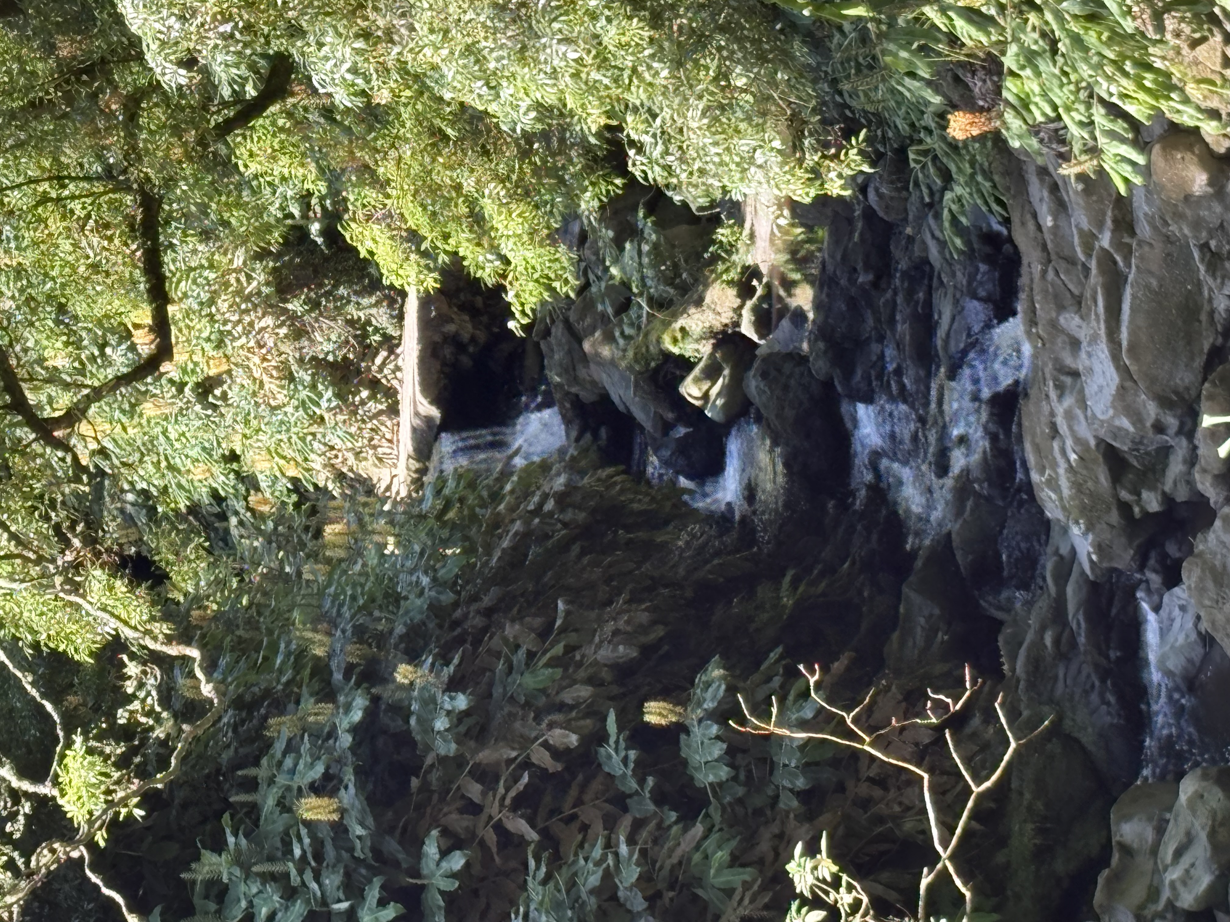
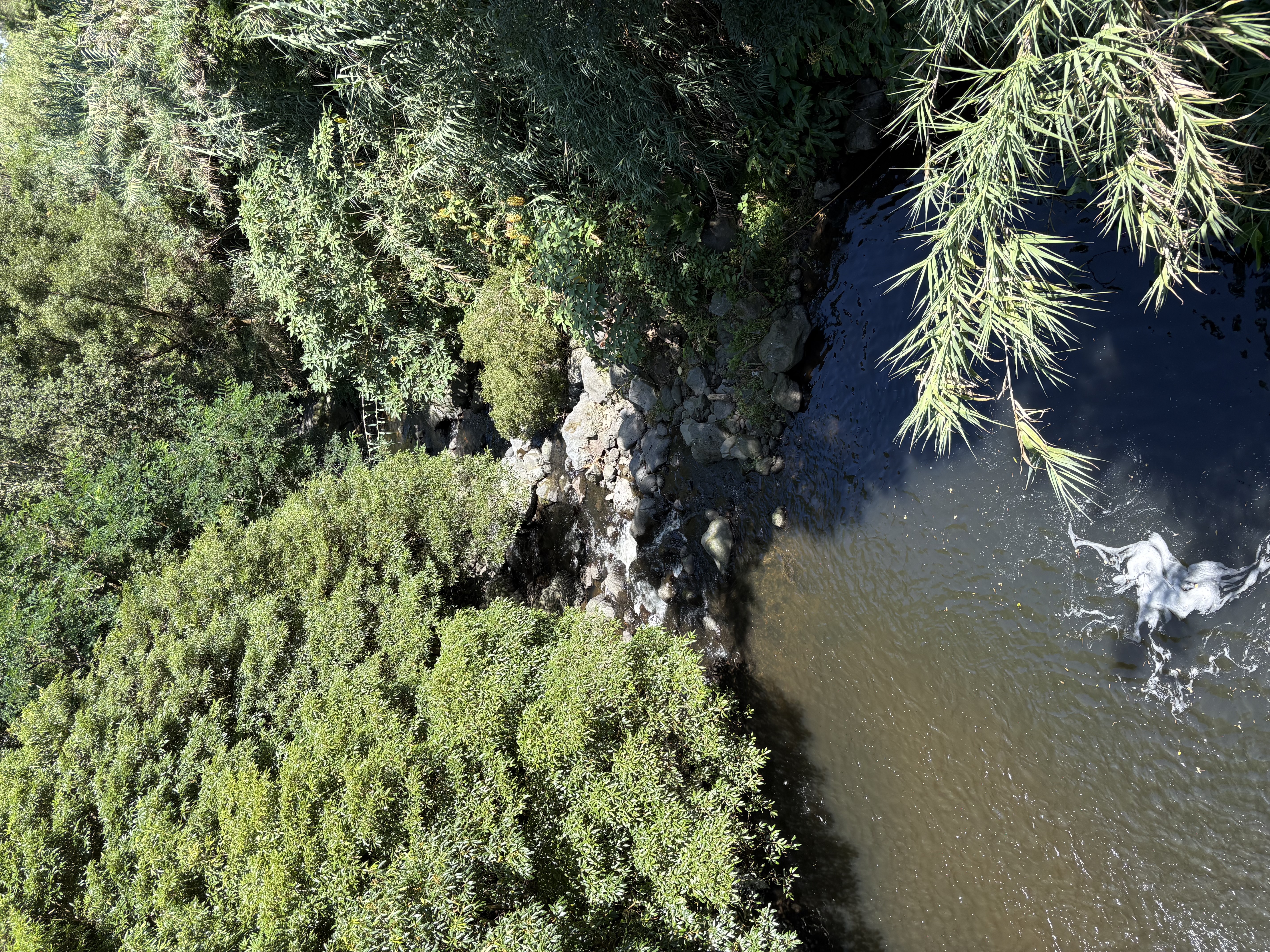
PRC38SMI connects farmland, the Lenho and dos Caldeirões streams, an old mill ruin, cryptomeria woodland, Fonte Velha and former reservoirs.
See this hike with Miguel™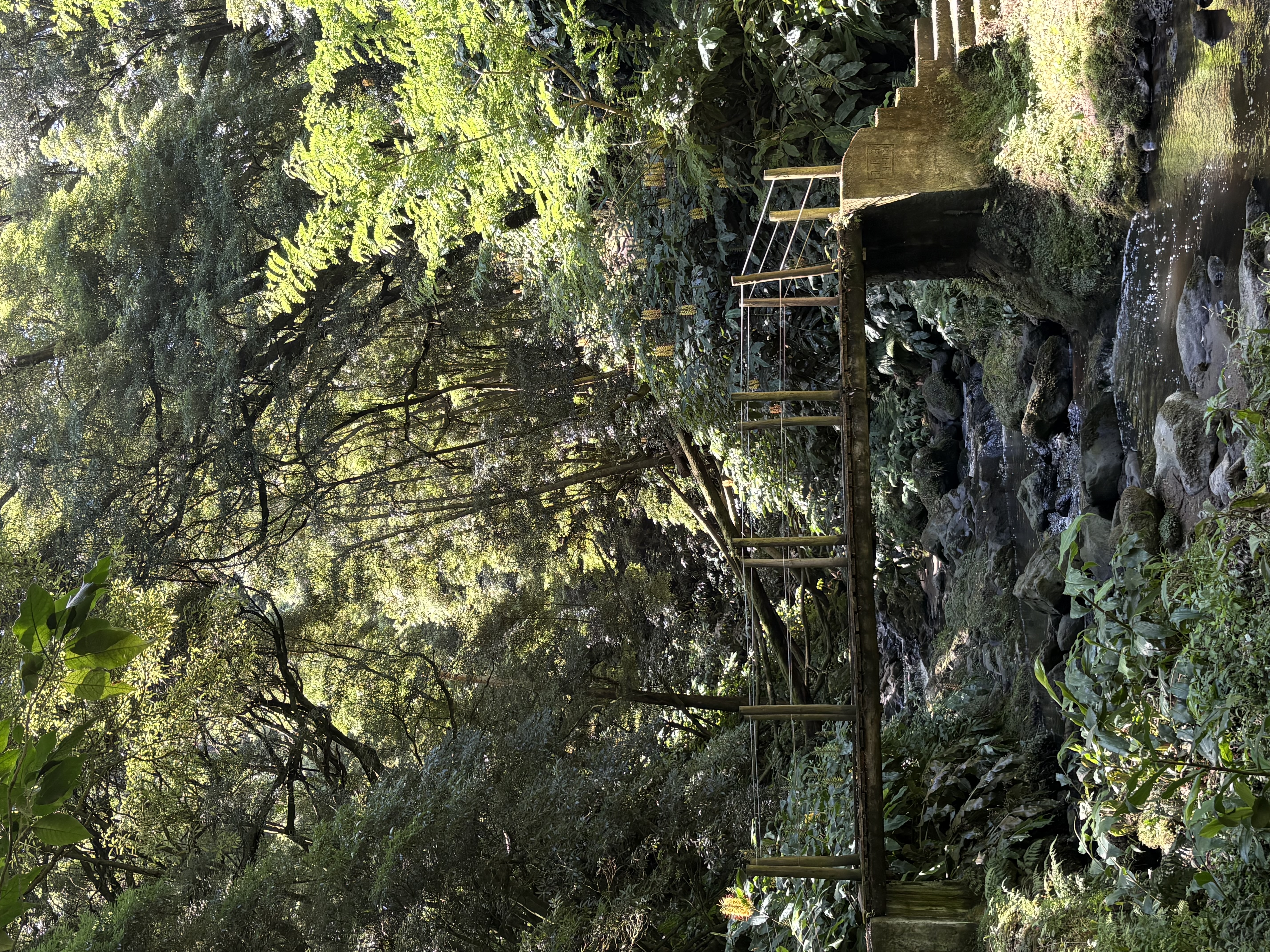
i
Photo informationPhoto: DHT Azores · DHT internal
i
Photo informationPhoto: DHT Azores · DHT internal
i
Photo informationPhoto: DHT Azores · DHT internal
i
Photo informationPhoto: DHT Azores · DHT internal
i
Photo informationPhoto: DHT Azores · DHT internal
i
Photo informationPhoto: DHT Azores · DHT internal
Distance4,3 km
Duration2h
Difficultymoderee
Trail typeLoop
PREMIUM HIKING MIGUEL™
Technical reading of the trail
A technical reading of the trail based on Miguel™ Hiking criteria: route, terrain, exposure, relief, effort and decision conditions.
Technical profile
TerrainForest, Grassland
ExposureMixed
PanoramaModerate

Access from the area~1h from Ponta Delgada
Expert reading
How to read the trail
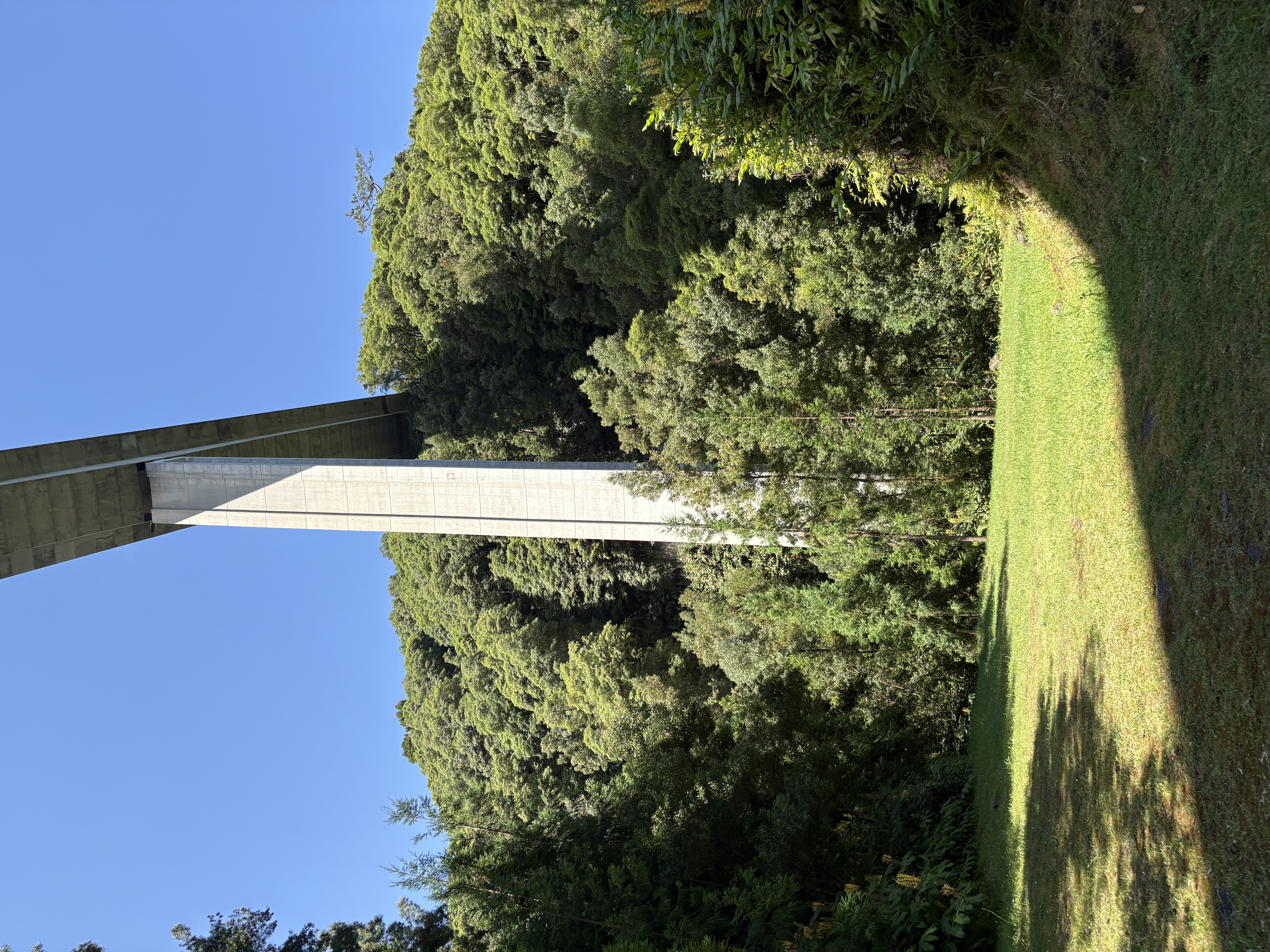
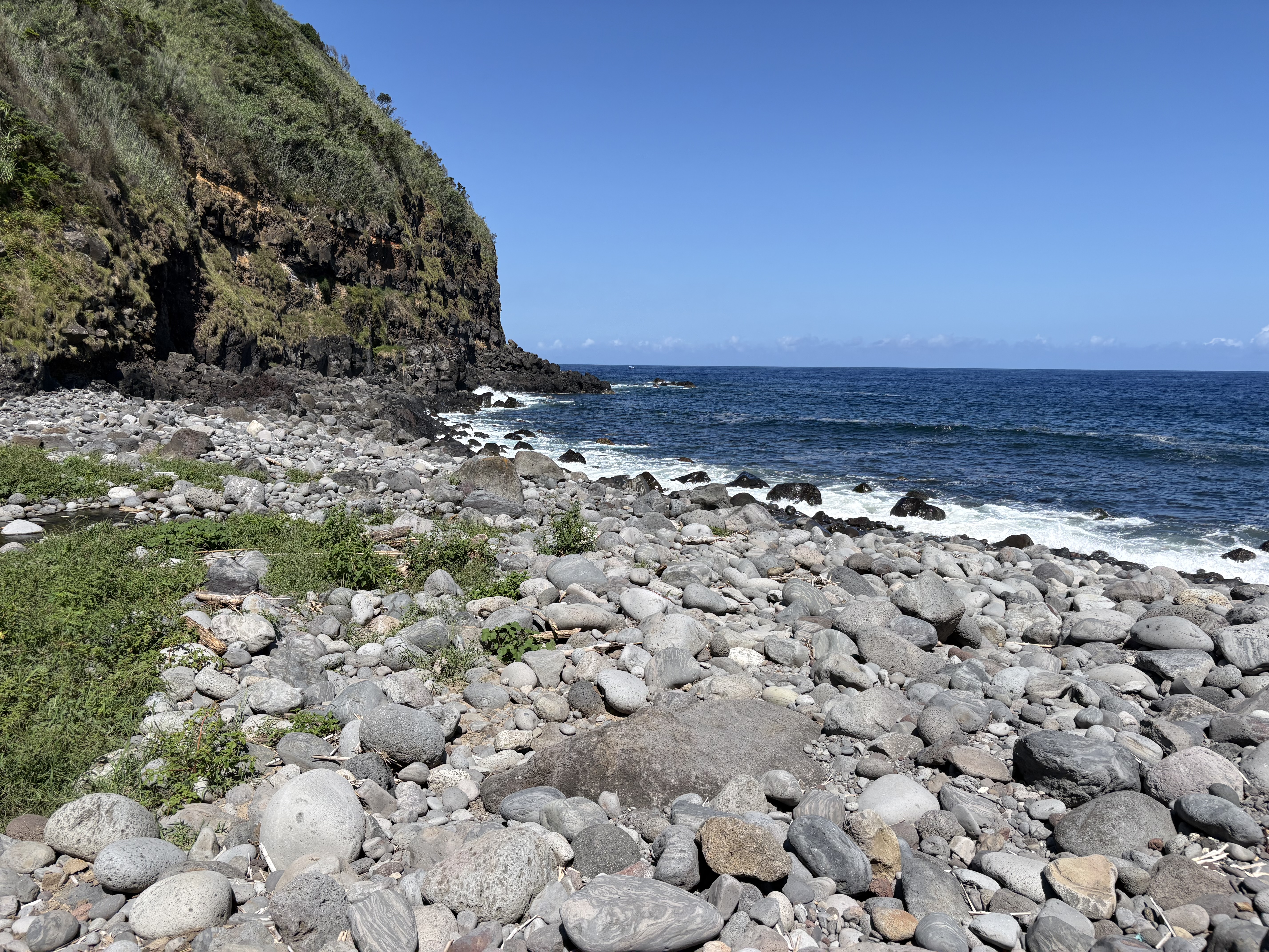
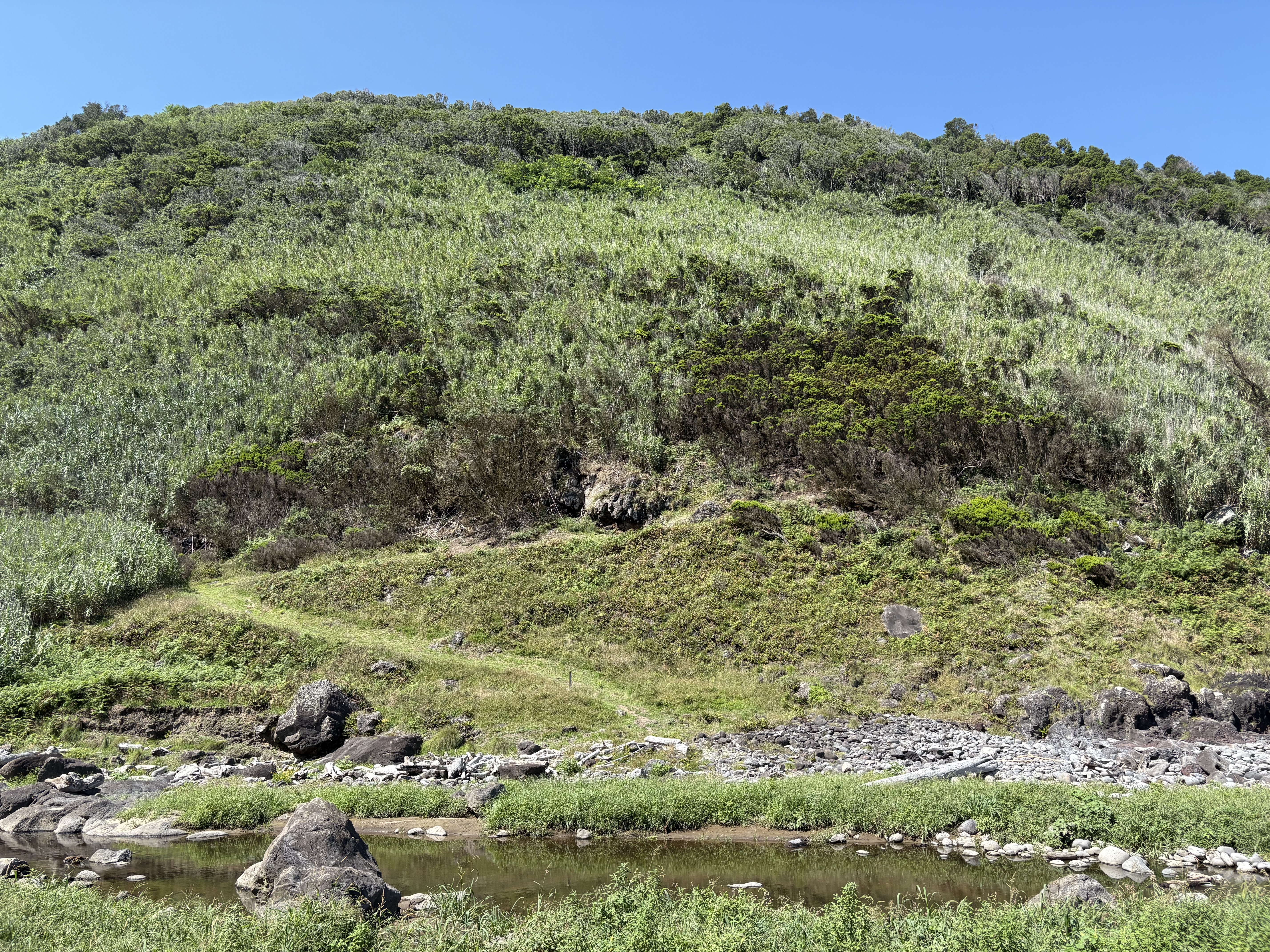
starting at the church of Lomba d'El-Rei, in the municipality of Nordeste, crossing a Japanese cedar forest to an isolated plateau overlooking the ocean, facing an impressive road bridge.
Best for
For hikers comfortable on moderate terrain, curious to discover an isolated farming plateau in Nordeste, known for having featured in the film Predator.
When to pass
Bad weather (the area is often foggy) or looking for a short, easy hike.
When Miguel recommends it
Miguel recommends this trail rather than Pico da Vara for discovering the isolated Nordeste plateau without the physical effort and access constraints of the protected summit; best on clear days, since the area is frequently covered in Nordeste's clouds and mist.
Trail logistics
4.3 km, about 2h, medium circular route. Start and finish near the village church.
PLACE · LANDSCAPE · EXPERIENCE
Why this place deserves a place in your itinerary
PRC38SMI connects farmland, the Lenho and dos Caldeirões streams, an old mill ruin, cryptomeria woodland, Fonte Velha and former reservoirs. The official route is listed at about 4.3 km and 2 hours, with medium difficulty. Yes, if you want walking and rural landscape rather than another panorama. If you only want a quick view, the route requires more time; its value comes from the succession of landscapes and rural heritage features.
PRC38SMI is listed at about 4.3 km and 2 hours. Lomba del Rei is a Nordeste loop whose appeal comes from reading the rural landscape, water and traces of past land use. If you are looking only for a major viewpoint, this is a different experience. Its value lies in the sequence of landscapes and traces of the territory.
It is a good choice if you enjoy a varied walk rather than a single spectacular viewpoint.
ON SITE
Time, effort and route reality
These figures refer to the loop.
The PRC38SMI route
If you only want a quick view, the route requires more time; its value comes from the succession of landscapes and rural heritage features.
Distance and duration
The official route is listed at about 4.3 km and two hours, with medium difficulty.
Difficulty and terrain
The official route is listed at about 4.3 km and 2 hours, with medium difficulty.
What the route reveals
Its appeal comes from the succession of landscapes and rural heritage features along the route.
CHOOSING YOUR VISIT
What to understand before you go
If you are looking only for a major viewpoint, this is a different experience. Its value lies in the sequence of landscapes and traces of the territory.
Who is it for? It is a good choice if you enjoy a varied walk rather than a single spectacular viewpoint. If you only want a quick view, the route requires more time; its value comes from the succession of landscapes and rural heritage features.

MARIA™
Plan your trip with Maria™
Plan my trip with Maria™Maria™ can place Fajã Grande inside a Flores itinerary while taking the other western landscapes and the overall pace of the trip into account.

MIGUEL™
Decide on the ground with Miguel™
Decide today with Miguel™Miguel™ can compare this hike with the available conditions and the place-specific parameters when you decide.
CONDITIONS
When conditions matter
The route crosses rural areas, streams and cryptomeria forest. In wet weather, some sections can feel more demanding: the official difficulty remains moderate, but suitable footwear and a little extra time are sensible.